
CA-K288Places & geography
Henry Youle Hind’s surveys of the North-West

Factual accuracy review: No recorded challenge
No recorded challenge is not proof of accuracy. A challenge under review is not a finding that the item is false.
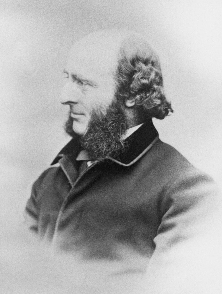
Henry Youle Hind (1823–1908), a scientist and explorer, led surveys of the North-West between 1857 and 1860 that produced scientific reports, photographs and maps. His reports on arable land helped shape Canada’s decision to pursue the acquisition of Rupert’s Land, a decision taken, as Parks Canada notes, without regard for Indigenous peoples.
Scope & context
His surveys and their influence as described in his reviewed designation, not his later career.
Sources behind this record
1