
CA-K357History
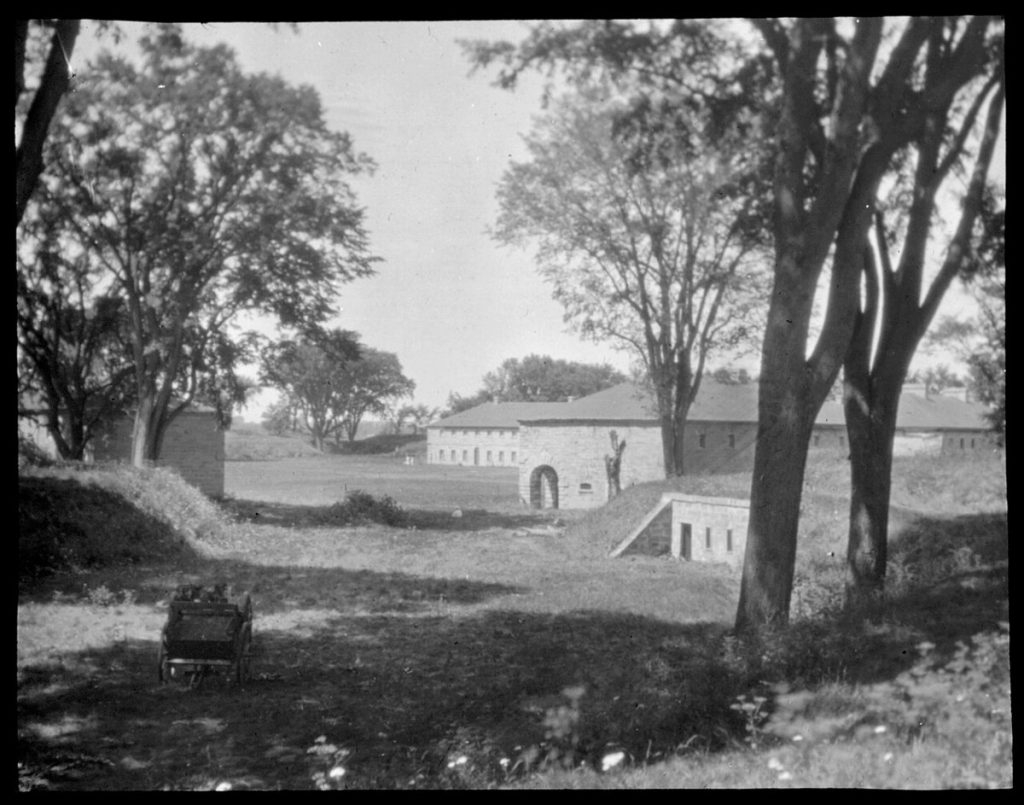
Fort Lennox on Île aux Noix

Factual accuracy review: No recorded challenge
No recorded challenge is not proof of accuracy. A challenge under review is not a finding that the item is false.
Fort Lennox, on Île aux Noix in the Richelieu River, guarded one of the gateways to Canada along the Hudson–Champlain–Richelieu route. Fortified by the French in 1759, captured by the British in 1760 and used by American revolutionary forces in 1775, the island was repeatedly fortified and held a garrison until 1870.
Scope & context
The fort’s military role, not the War of 1812 as a whole.
Sources behind this record
1