CA-K995Places & geography
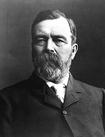
William Ogilvie, surveyor and Commissioner of the Yukon

Factual accuracy review: No recorded challenge
No recorded challenge is not proof of accuracy. A challenge under review is not a finding that the item is false.
William Ogilvie of Ottawa became a Dominion Land Surveyor in 1872. He worked on the Canada–Alaska boundary survey and explored the Mackenzie River, contributing to mapping Canada’s northwest. He wrote The Klondike Official Guide (1898) and served as Commissioner of the Yukon from 1898 to 1901, during the Klondike Gold Rush.
Scope & context
Ogilvie as described in his designation.
Sources behind this record
1
William Ogilvie National Historic Person ↗
Parks Canada (Directory of Federal Heritage Designations)
Importance; plaque text