An independent Canadian knowledge project

Focused and Verified

Canadian knowledge base

Search by keyword

Choose one keyword, or combine two. Broader keywords include their descendants.

Keywords: Place or geographic feature

Clear search
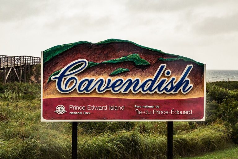
A Cavendish entrance sign at Prince Edward Island National Park.
CA-K1044Places & geography

Prince Edward Island National Park’s beaches and dunes

Prince Edward Island National Park protects a coastal landscape of sandy beaches, red cliffs and wind-sculpted dunes. Its coastal bays, woodlands and ponds provide habitat for herons, red foxes, waterfowl and warblers.

Factual accuracy review: No recorded challenge

Contributor: Citizen.ca

Verified against cited sourcesVerified on 2026-10-27↗
Photo: Tony Webster from San Francisco, California · Photo licence: CC BY-SA 2.0 · Credit & context
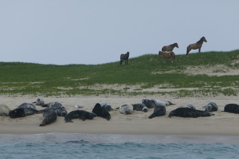
Wild horses and grey seals on the beach, Sable Island.
CA-K1043Places & geography

Sable Island, “Graveyard of the Atlantic”

Sable Island National Park Reserve is a thin crescent of shifting sand at the edge of the Continental Shelf, 290 kilometres southeast of Halifax. It is home to the famous Sable Island wild horses, grey seals and plants, birds and insects, and is known as the “Graveyard of the Atlantic” for the more than 350 shipwrecks off its shores.

Factual accuracy review: No recorded challenge

Contributor: Citizen.ca

Verified against cited sourcesVerified on 2026-10-27↗
Photo: Paul Gierszewski · Photo licence: CC BY-SA 4.0 · Credit & context
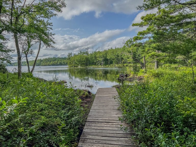
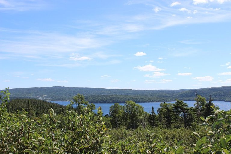
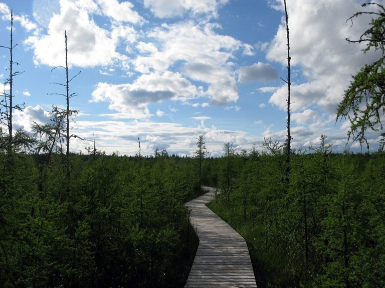
Big Dam Lake Trail, Kejimkujik National Park.
CA-K1042Places & geography

Kejimkujik, Mi’kmaq land and Nova Scotia’s dark-sky preserve

Kejimkujik National Park and National Historic Site, in southwest Nova Scotia, preserves Mi’kmaq cultural heritage, including petroglyphs and waters travelled by the Mi’kmaq for thousands of years. It is a dark-sky preserve, and its Seaside area at Port Joli protects a stretch of Atlantic coast.

Factual accuracy review: No recorded challenge

Contributor: Citizen.ca

Verified against cited sourcesVerified on 2026-10-27↗
Photo: Z3lvs · Photo licence: CC0 · Credit & context
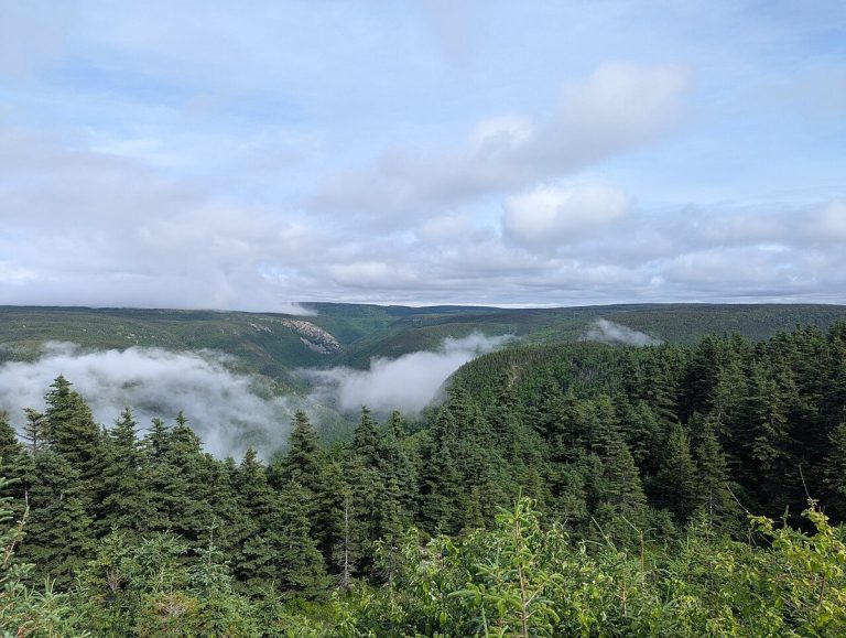
Cape Breton Highlands National Park from the Cabot Trail.
CA-K1041Places & geography

Cape Breton Highlands National Park and the Cabot Trail

Cape Breton Highlands National Park in Nova Scotia protects a forested plateau cut by steep cliffs and deep river canyons along the Atlantic coast. About one-third of the Cabot Trail runs through the park. Its cool maritime climate and rugged landscape bring together Acadian, boreal and taiga habitats.

Factual accuracy review: No recorded challenge

Contributor: Citizen.ca

Verified against cited sourcesVerified on 2026-10-27↗
Photo: ArcaneCraeda · Photo licence: CC BY-SA 4.0 · Credit & context
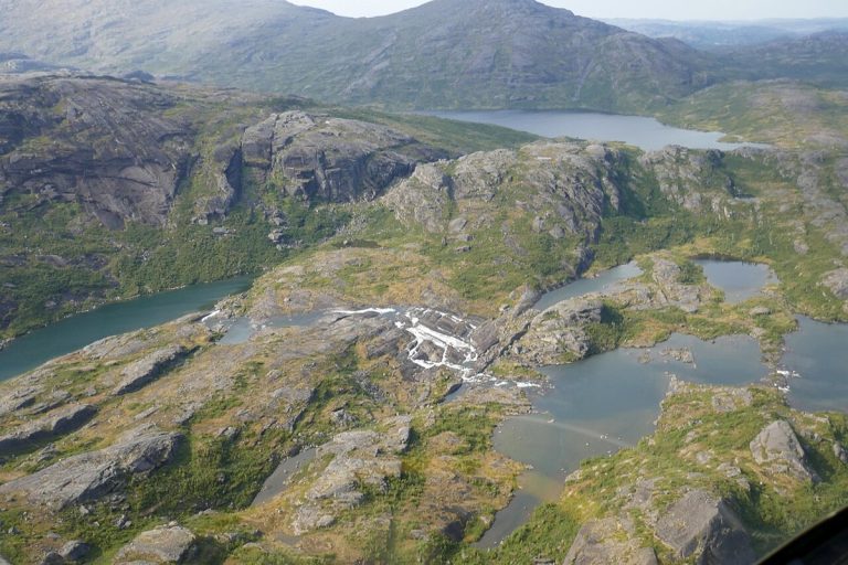
An aerial view of the Mealy Mountains in Labrador.
CA-K1039Places & geography

Akami-Uapishkᵁ-KakKasuak-Mealy Mountains, eastern Canada’s largest national park

Akami-Uapishkᵁ-KakKasuak-Mealy Mountains National Park Reserve in Labrador covers 10,700 square kilometres and is the largest national park in eastern Canada. Its Innu and Labrador Inuit names refer to white mountains and a mountain. The bare, glacier-rounded summits of the Mealy Mountains rise 1,180 metres above Lake Melville.

Factual accuracy review: No recorded challenge

Contributor: Citizen.ca

Verified against cited sourcesVerified on 2026-10-27↗
Photo: Paul Gierszewski · Photo licence: CC BY-SA 4.0 · Credit & context
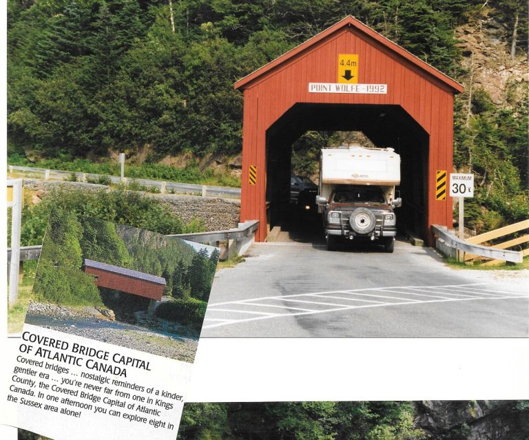
The Point Wolfe covered bridge in Fundy National Park, with an inset showing a photographed interpretive sign.
CA-K1037Places & geography

Fundy National Park, from tides to Acadian forest

Fundy National Park in New Brunswick lies on the Bay of Fundy, home of the world’s highest tides, on the unceded territory of the Mi’gmaq. Beyond the shore, where visitors can walk the sea floor at low tide, trails lead inland to waterfalls deep in Acadian forest, and the park works with partners to recover Inner Bay of Fundy Atlantic salmon.

Factual accuracy review: No recorded challenge

Contributor: Citizen.ca

Verified against cited sourcesVerified on 2026-10-27↗
Photo: Eduard47 · Photo licence: CC BY-SA 4.0 · Credit & context
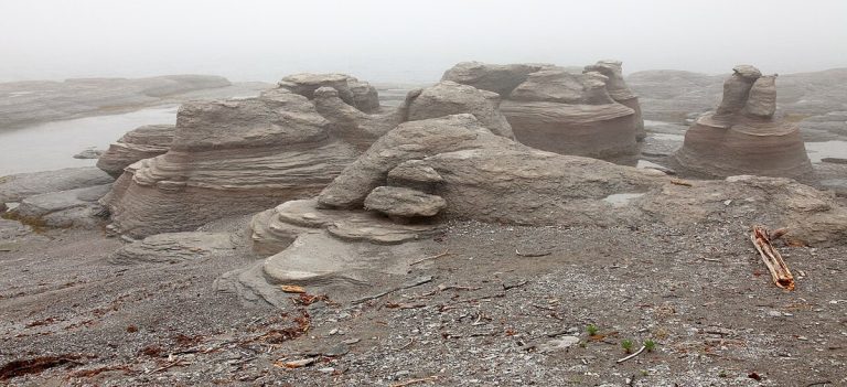
Monoliths on Île Nue, Mingan Archipelago National Park Reserve.
CA-K1036Places & geography

The monoliths of the Mingan Archipelago

The Mingan Archipelago National Park Reserve, on Quebec’s North Shore, holds the largest concentration of monoliths in Canada. Whales and seals swim offshore, and its thousands of islands and islets are known for arctic-alpine plants and bird colonies.

Factual accuracy review: No recorded challenge

Contributor: Citizen.ca

Verified against cited sourcesVerified on 2026-10-27↗
Photo: Marc-Lautenbacher · Photo licence: CC BY-SA 4.0 · Credit & context
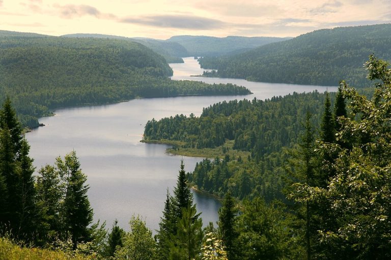
Wapizagonke Lake, La Mauricie National Park.
CA-K1035Places & geography

La Mauricie National Park

La Mauricie National Park in Quebec is both accessible and wild, open to hiking, camping, canoeing, cycling and skiing through the four seasons. It protects a territory where Indigenous knowledge, holidaymaking and logging have all left their mark, at the heart of Mauricie culture.

Factual accuracy review: No recorded challenge

Contributor: Citizen.ca

Verified against cited sourcesVerified on 2026-10-27↗
Photo: Marc-Lautenbacher · Photo licence: CC BY-SA 4.0 · Credit & context
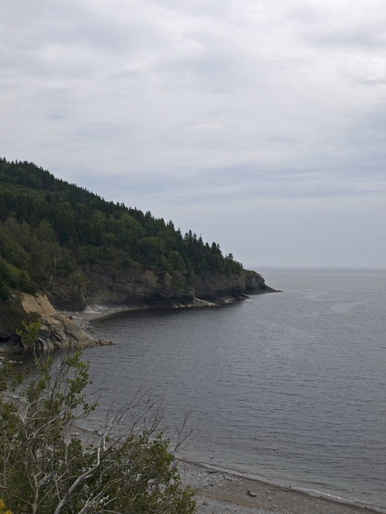
Southwest coast of Cap Gaspé, Forillon National Park.
CA-K1034Places & geography

Forillon National Park’s people of land and sea

The Mi’gmaq and their ancestors have used the rich territory of Forillon, on Quebec’s Gaspé coast, for thousands of years. From the 18th century, cod merchants arrived, and Anglo-Norman, Irish, Scottish, French-Canadian and American families settled to take part in the fishery. The park’s cultural landscape, including the fishing village of Grande-Grave and the Cape Gaspé lighthouse, reflects this long relationship between people, land and sea.

Factual accuracy review: No recorded challenge

Contributor: Citizen.ca

Verified against cited sourcesVerified on 2026-10-27↗
Photo: Ymblanter · Photo licence: CC BY-SA 4.0 · Credit & context
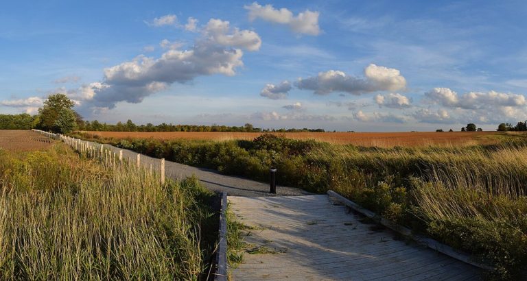
A trail in Rouge National Urban Park.
CA-K1033Places & geography

Rouge National Urban Park in the Greater Toronto Area

Rouge National Urban Park, in the Greater Toronto Area, is one of the largest urban parks in North America. It brings together forests, creeks, farms and trails, marshland and a beach on Lake Ontario, with human history spanning 10,000 years.

Factual accuracy review: No recorded challenge

Contributor: Citizen.ca

Verified against cited sourcesVerified on 2026-10-27↗
Photo: The Cosmonaut · Photo licence: CC BY-SA 2.5 ca · Credit & context
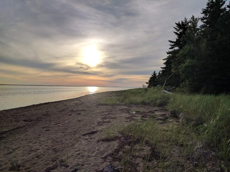
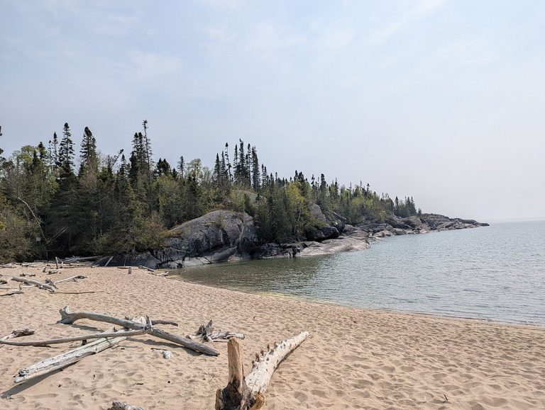
Horseshoe Bay beach, Pukaskwa National Park.
CA-K1032Places & geography

Pukaskwa National Park on Lake Superior

Pukaskwa National Park protects a remote granite shore of Lake Superior in Ontario, with windswept spruce and pine, towering cliffs and secluded sandy beaches. Black bears, loons and moose live here, and the culture of the Anishinaabe First Nations links the park’s wilderness to an ancient human story.

Factual accuracy review: No recorded challenge

Contributor: Citizen.ca

Verified against cited sourcesVerified on 2026-10-27↗
Photo: Hirgax · Photo licence: CC BY-SA 4.0 · Credit & context
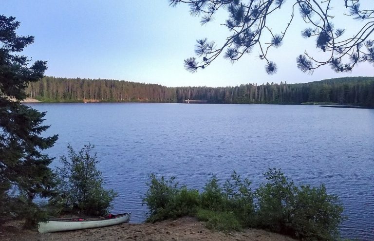
A lake on Beausoleil Island, Georgian Bay Islands National Park.
CA-K1030Places & geography

Georgian Bay Islands National Park

Georgian Bay Islands National Park lies in the world’s largest freshwater archipelago, a place with thousands of years of Indigenous history. Its ecological diversity ranges from dense deciduous forest to the granite outcrops of the Canadian Shield, and the park is reached only by boat.

Factual accuracy review: No recorded challenge

Contributor: Citizen.ca

Verified against cited sourcesVerified on 2026-10-27↗
Photo: Inthegreen13 · Photo licence: CC BY-SA 4.0 · Credit & context
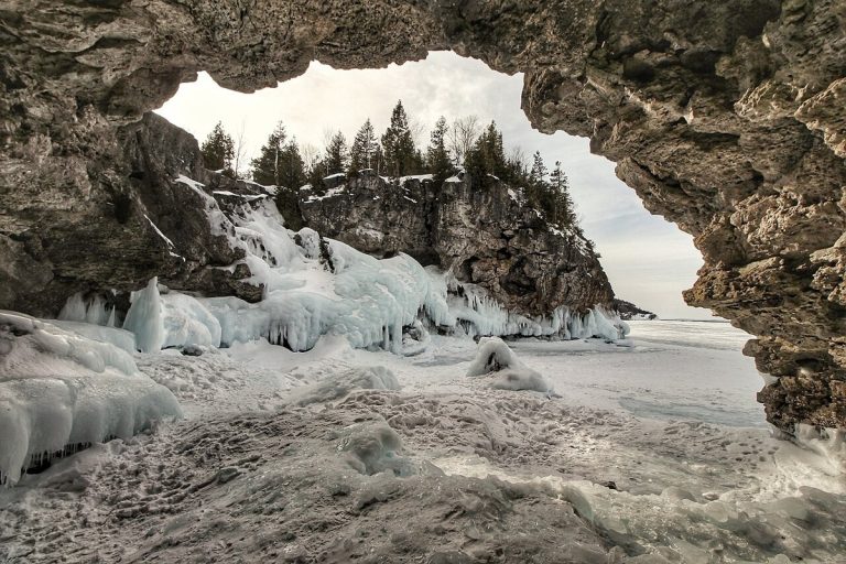
The Grotto in winter, Bruce Peninsula National Park.
CA-K1029Places & geography

Bruce Peninsula National Park and the Niagara Escarpment

Bruce Peninsula National Park, established in 1987, is the core protected area of the UNESCO Niagara Escarpment World Biosphere Reserve and holds the longest stretch of undeveloped Niagara Escarpment and Lake Huron shoreline. Its dolomite bedrock, lakes and mixed forest form a mosaic of habitats, including globally rare alvars.

Factual accuracy review: No recorded challenge

Contributor: Citizen.ca

Verified against cited sourcesVerified on 2026-10-27↗
Photo: Dunmaghlas · Photo licence: CC BY-SA 4.0 · Credit & context
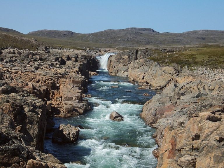
Upper Sila River Falls, Ukkusiksalik National Park.
CA-K1027Places & geography

Ukkusiksalik National Park on Wager Bay

Ukkusiksalik National Park lies along the shores of Wager Bay in Nunavut, a rolling tundra full of wildlife. Polar bears, Arctic wolves and caribou roam a landscape where hundreds of archaeological sites tell the story of Inuit who have lived and travelled here for thousands of years.

Factual accuracy review: No recorded challenge

Contributor: Citizen.ca

Verified against cited sourcesVerified on 2026-10-27↗
Photo: Paul Gierszewski (Gierszep) · Photo licence: CC BY-SA 4.0 · Credit & context
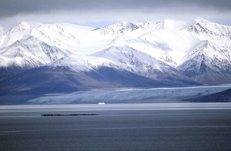
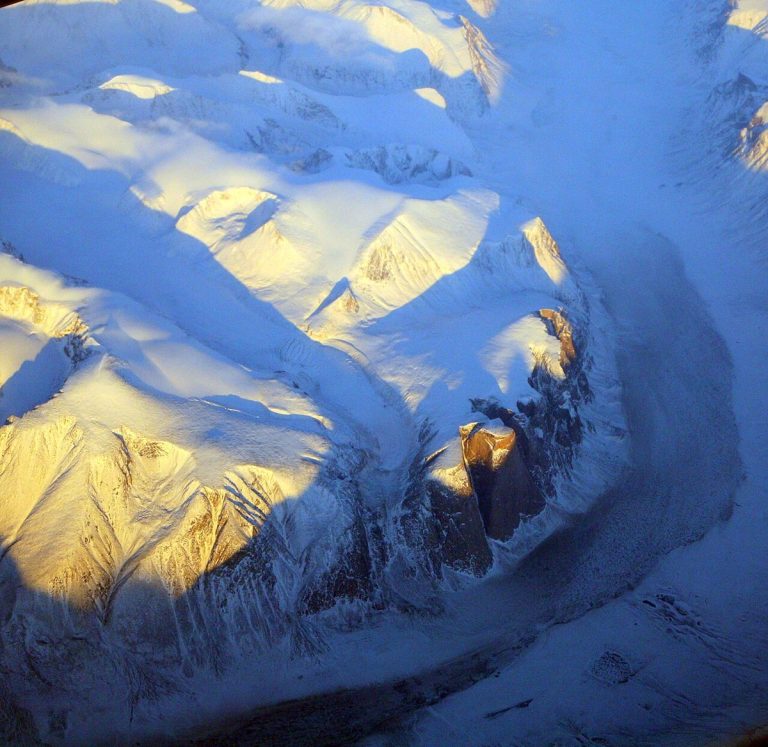
Sirmilik Glacier, Bylot Island.
CA-K1026Places & geography

Sirmilik National Park, Bylot Island and the Borden Peninsula

Sirmilik National Park in Nunavut is a landscape of glaciers, valleys and red-rock hoodoos. Nesting seabirds crowd the cliffs of Bylot Island above icy waters full of narwhal and beluga whales, and the area’s rich wildlife has sustained Inuit for thousands of years.

Factual accuracy review: No recorded challenge

Contributor: Citizen.ca

Verified against cited sourcesVerified on 2026-10-27↗
Photo: Ansgar Walk · Photo licence: CC BY-SA 2.5 · Credit & context
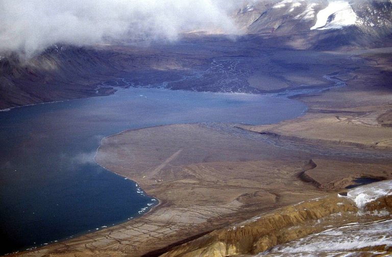
Tanquary Fiord, Quttinirpaaq National Park.
CA-K1025Places & geography

Quttinirpaaq, Canada’s northernmost national park

Quttinirpaaq, Inuktitut for “land at the top of the world,” is Canada’s northernmost national park, in Nunavut. Jagged black peaks and massive glaciers rise above its tundra, where muskoxen and Peary caribou roam and archaeological sites go back thousands of years.

Factual accuracy review: No recorded challenge

Contributor: Citizen.ca

Verified against cited sourcesVerified on 2026-10-27↗
Photo: Ansgar Walk · Photo licence: CC BY-SA 2.5 · Credit & context
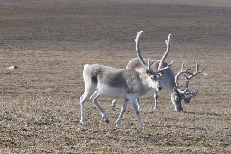
Peary caribou on Bathurst Island, Qausuittuq National Park.
CA-K1024Places & geography

Qausuittuq, “place where the sun doesn’t rise”

Qausuittuq, Inuktitut for “place where the sun doesn’t rise,” is a national park rich in natural and cultural heritage in Nunavut’s High Arctic. Managed jointly by Inuit and Parks Canada, it protects key habitat for Peary caribou.

Factual accuracy review: No recorded challenge

Contributor: Citizen.ca

Verified against cited sourcesVerified on 2026-10-27↗
Photo: Paul Gierszewski · Photo licence: CC BY-SA 4.0 · Credit & context
Akshayuk Pass, Auyuittuq National Park.
CA-K1023Places & geography

Auyuittuq, “the land that never melts”

Auyuittuq National Park, on southeastern Baffin Island in Nunavut, is named with the Inuktitut words for “the land that never melts.” The peaks of Akshayuk Pass overlook a natural corridor through sprawling glaciers, steep fiords and winding river valleys, in a landscape rich in Inuit culture and history.

Factual accuracy review: No recorded challenge

Contributor: Citizen.ca

Verified against cited sourcesVerified on 2026-10-27↗
Photo: Doc Searls from Santa Barbara, USA · Photo licence: CC BY 2.0 · Credit & context