
CA-K816Places & geography
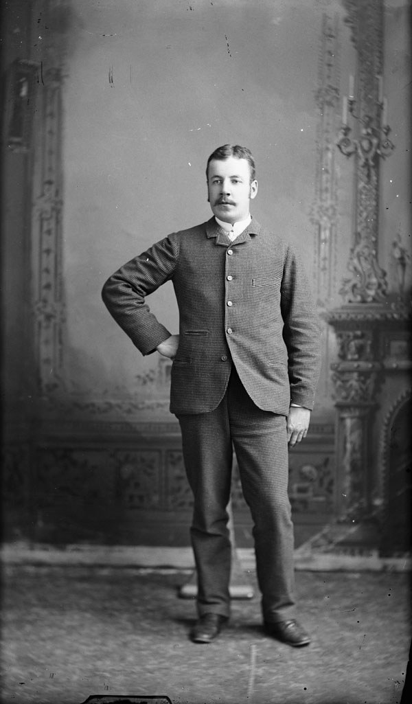
A.P. Low, explorer of Labrador and the Arctic

Factual accuracy review: No recorded challenge
No recorded challenge is not proof of accuracy. A challenge under review is not a finding that the item is false.
Albert Peter Low of Montréal joined the Geological Survey of Canada in 1882. In 1884 he made the first scientific survey and map of Lake Mistassini, and in the 1890s explored much of the interior of Ungava and Labrador, noting its iron deposits. He commanded the first Arctic patrol, aboard the Neptune in 1903–04, and became Director of the Geological Survey in 1906.
Scope & context
Low as described in his designation.
Sources behind this record
1
Albert Peter Low National Historic Person ↗
Parks Canada (Directory of Federal Heritage Designations)
Importance; plaque text