CA-K808Places & geography
Édouard Deville, Surveyor General and photogrammetry pioneer

Factual accuracy review: No recorded challenge
No recorded challenge is not proof of accuracy. A challenge under review is not a finding that the item is false.
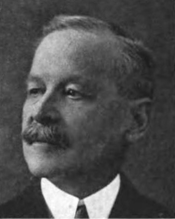
Édouard-Gaston Deville, a former French Navy hydrographer, came to Canada in 1874, took part in the Dominion survey of the North-West, and became Surveyor General in 1885. A pioneer of photogrammetry, he used it to map the Canadian Rockies between 1888 and 1896 and earned an international reputation for his writing, instruments and map reproduction methods. Mount Deville in Yoho National Park bears his name.
Scope & context
Deville as described in his designation.
Sources behind this record
1
Édouard-Gaston Deville National Historic Person ↗
Parks Canada (Directory of Federal Heritage Designations)
Importance; plaque text