
CA-K157Indigenous peoples & reconciliation
Meshikamau-shipu, an Innu travel route

Factual accuracy review: No recorded challenge
No recorded challenge is not proof of accuracy. A challenge under review is not a finding that the item is false.
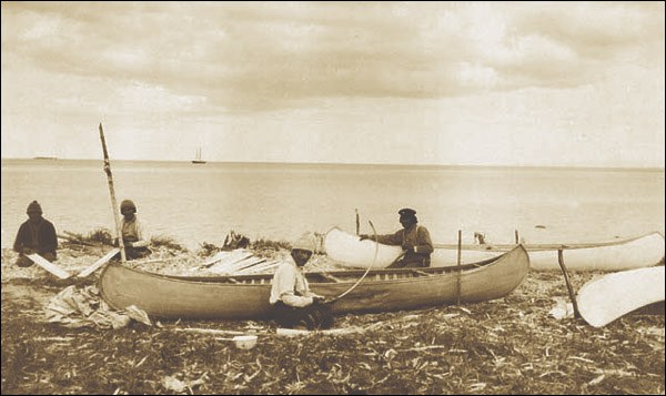
Meshikamau-shipu, Innu-aimun for “river to Meshikamau,” is a travel route of about 330 kilometres through rivers and lakes in Labrador, from Sheshatshiu to the Meshikamau area. Its camp sites, some dating back 3,500 years, portages and burial places reflect Innu land use and a way of life based on mobility until permanent settlement in the 1960s.
Scope & context
The travel route and what it represents, not the whole of Nitassinan or the Smallwood Reservoir’s development.
Sources behind this record
1