CA-K233Places & geography
Mina Hubbard mapped Labrador in 1905

Factual accuracy review: No recorded challenge
No recorded challenge is not proof of accuracy. A challenge under review is not a finding that the item is false.
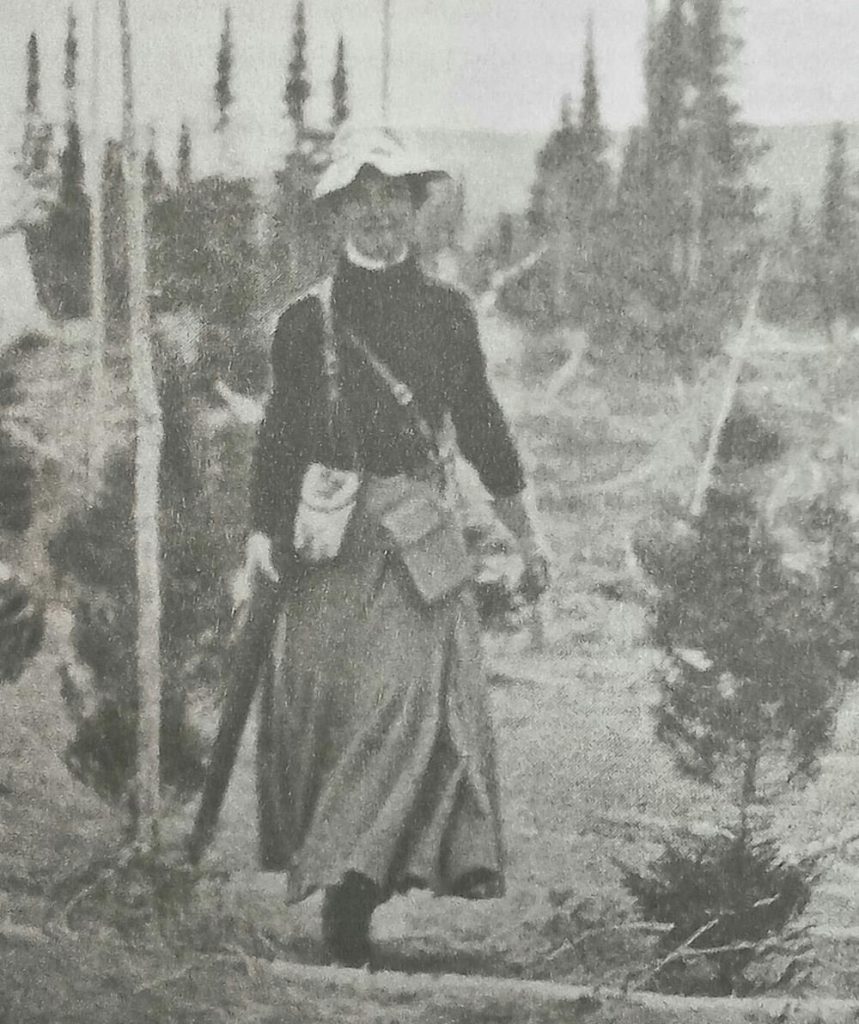
In 1905, explorer and surveyor Mina Hubbard (1870–1956) led an expedition across Labrador, travelling 900 kilometres from North West River to Ungava Bay. Her continuous latitude measurements established the positions of the Naskaupi and George rivers, and her map was immediately recognized by the American and British geographical societies.
Scope & context
Her 1905 expedition and map, not the Innu and Inuit knowledge of the region that long preceded it.
Sources behind this record
1